October 11, 2022 - Foliage Flight
Sky Acres to Mount Washington

Sky Acres has an airport restaurant -- on the ground floor of the barn-like building in this picture - but it is only open Friday, Saturday and Sunday these days.  So this usually busy airport was deserted this Tuesday.
   
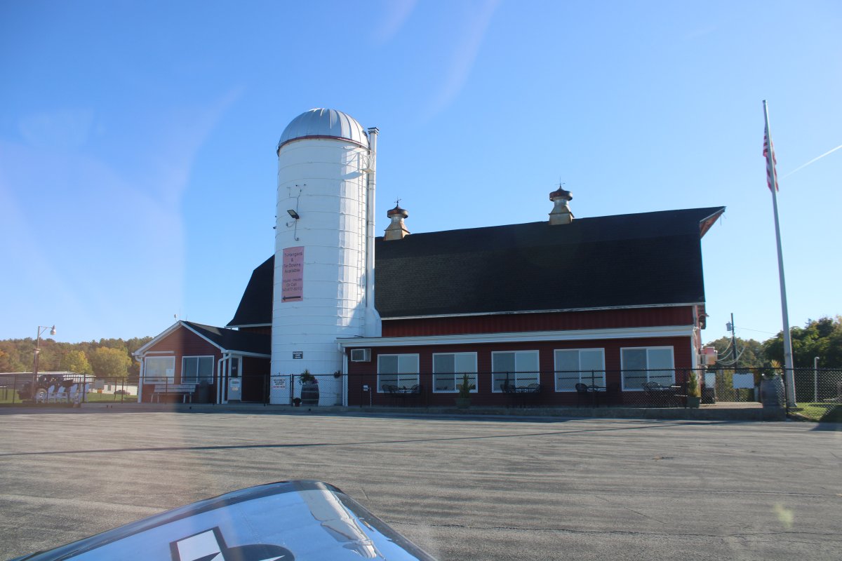
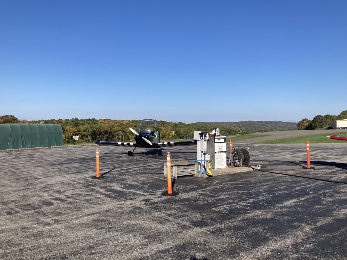
Sky Acres does have a decent avgas price.  I talked with a Bonanza-driver who landed ahead of me a little bit, then was on my way.
   
Sky Acres was the beginning point of the foliage portion of the flight.  I stayed at 500 feet agl and headed north-northeast.  I saw color immediately.
   
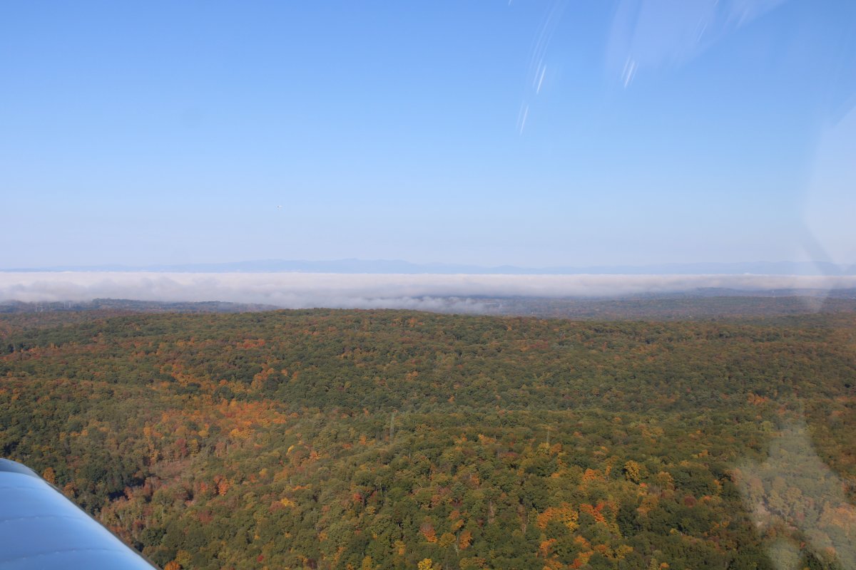
The air was smooth, and the sun was lighting everything up.
   
Booming along at 500 feet above ground level (agl).


Approaching Pittsfield Municipal Airport (KPSF).
   
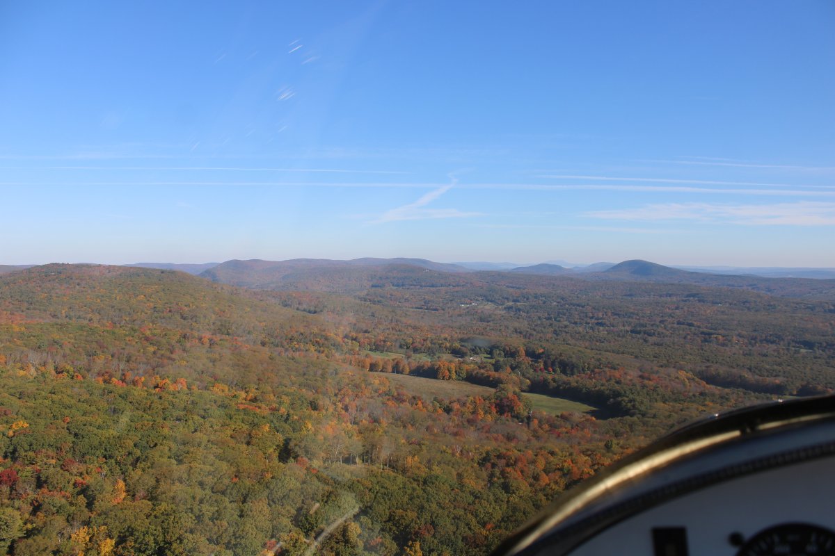
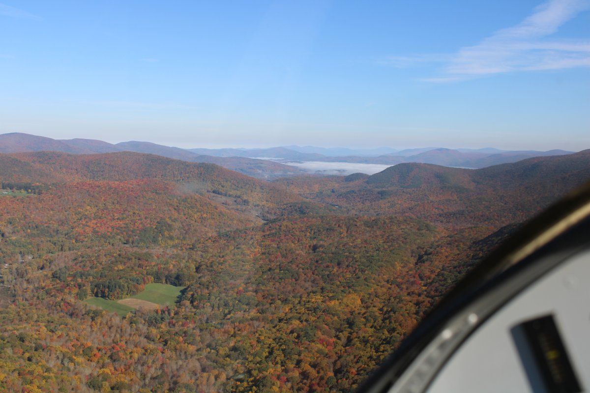
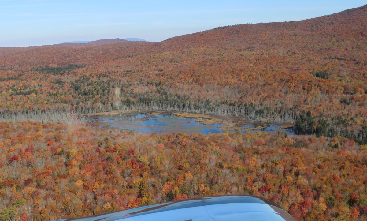
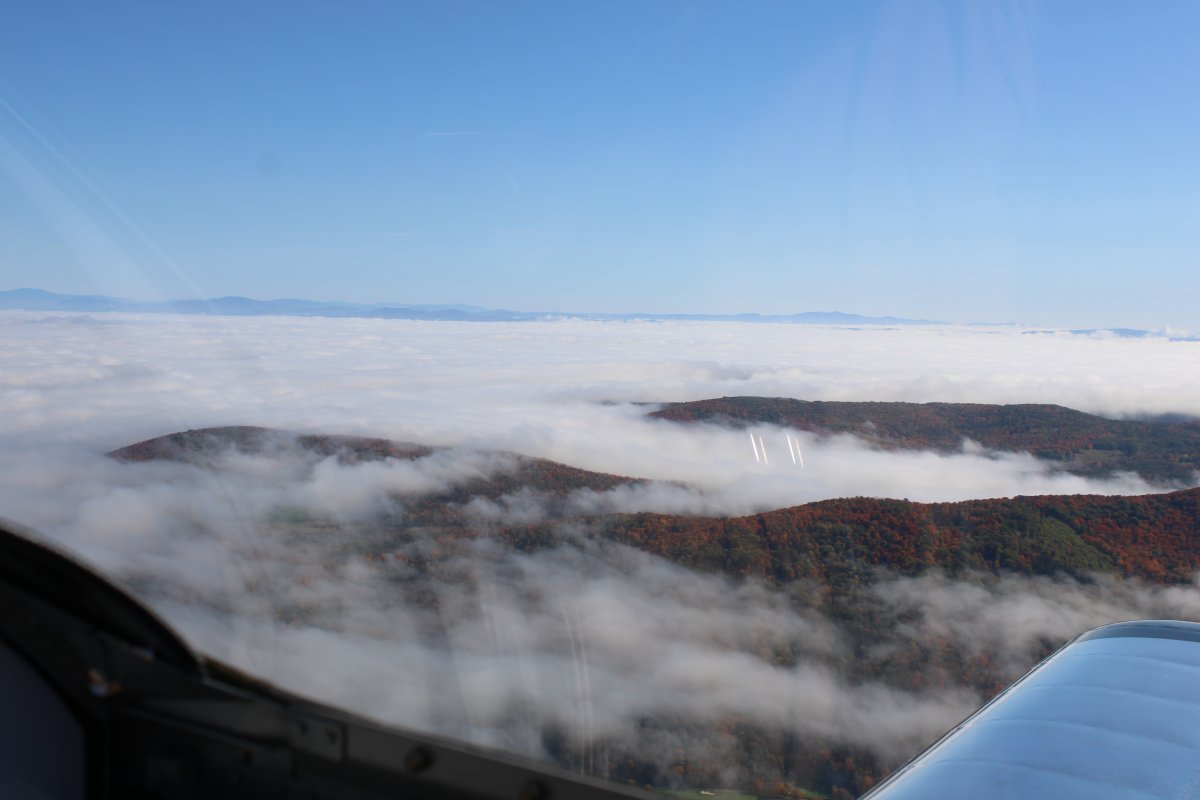
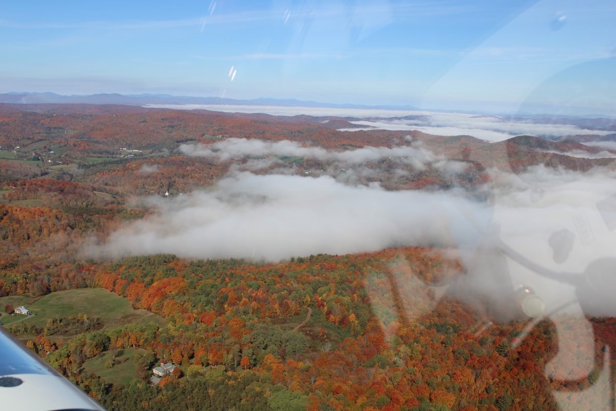
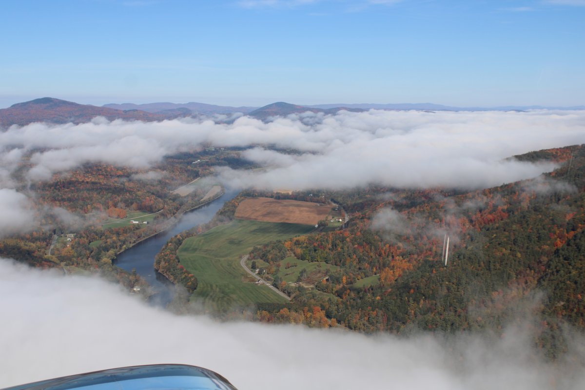
There were patches of ground fog here and there but nothing to worry about.


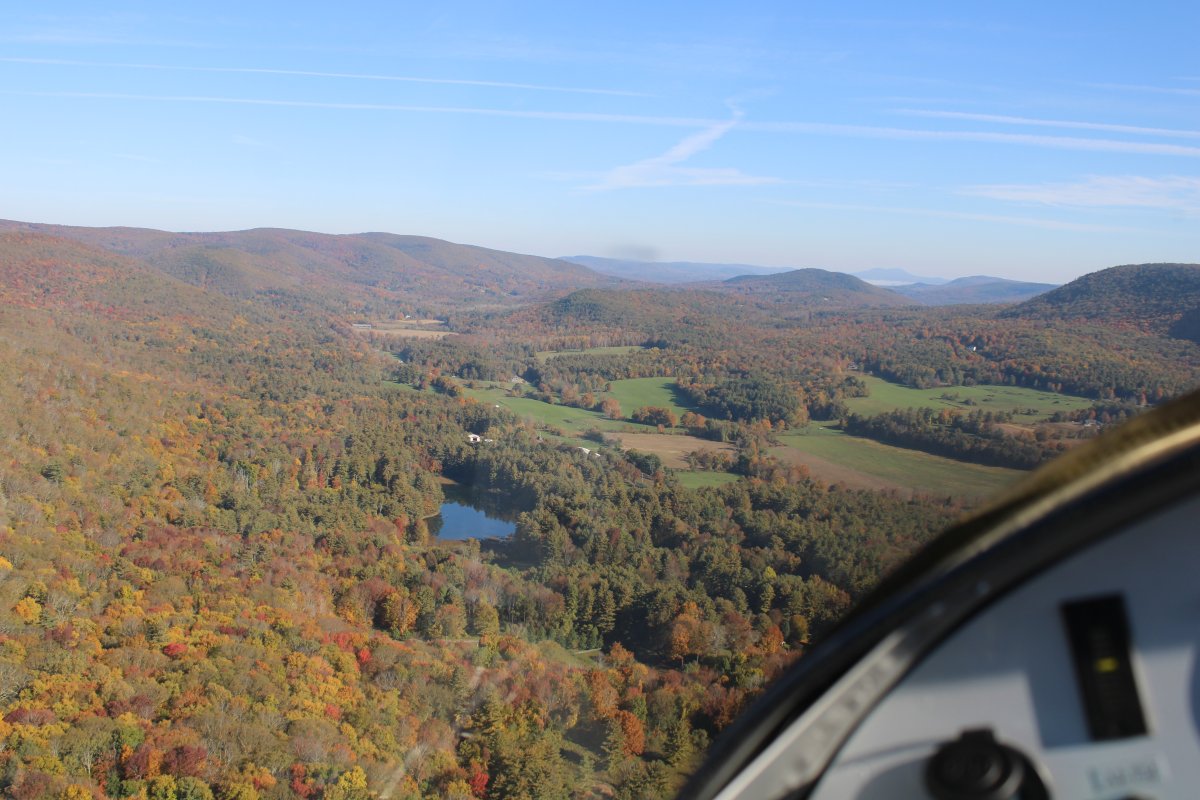
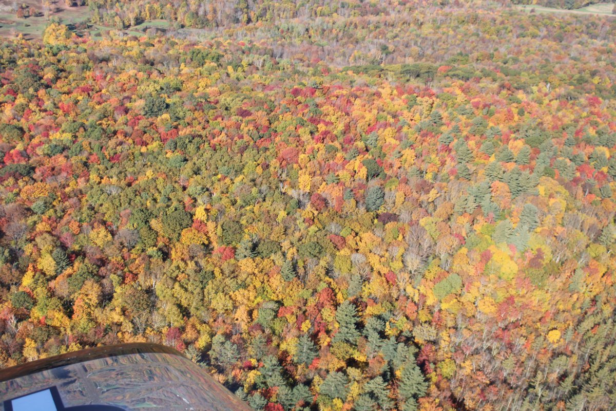
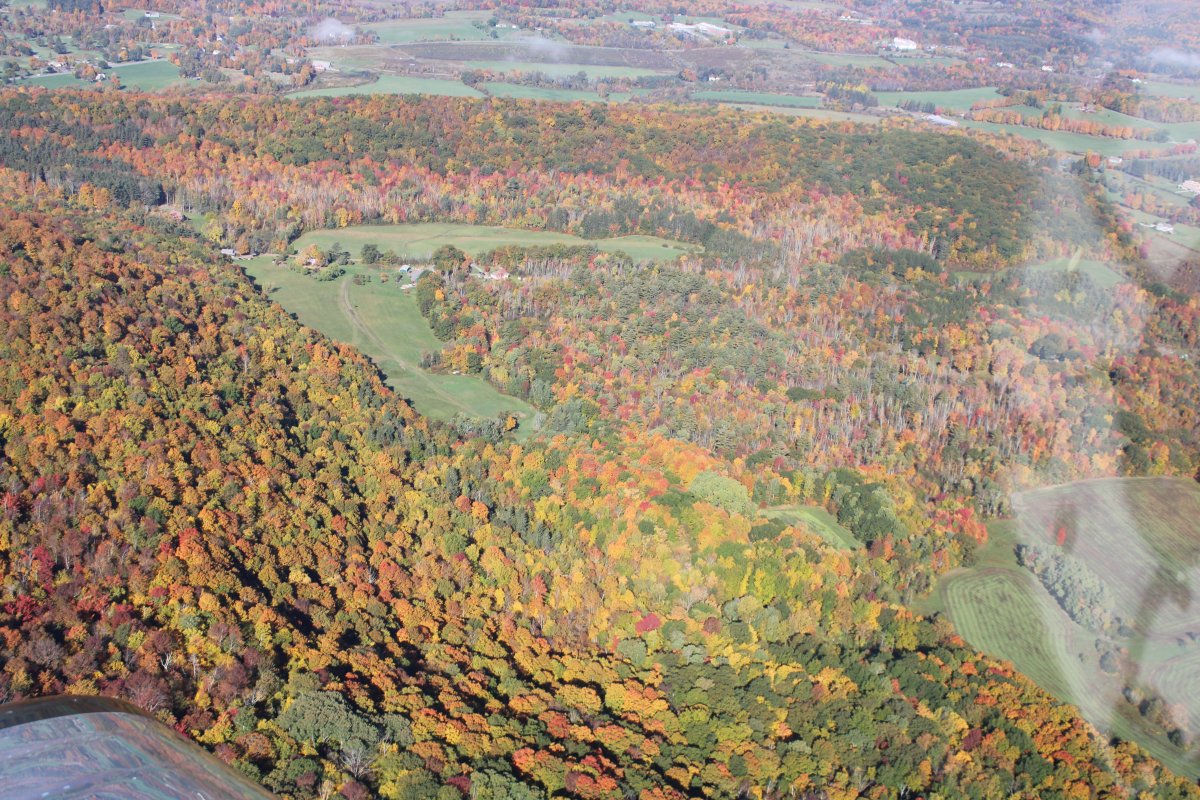
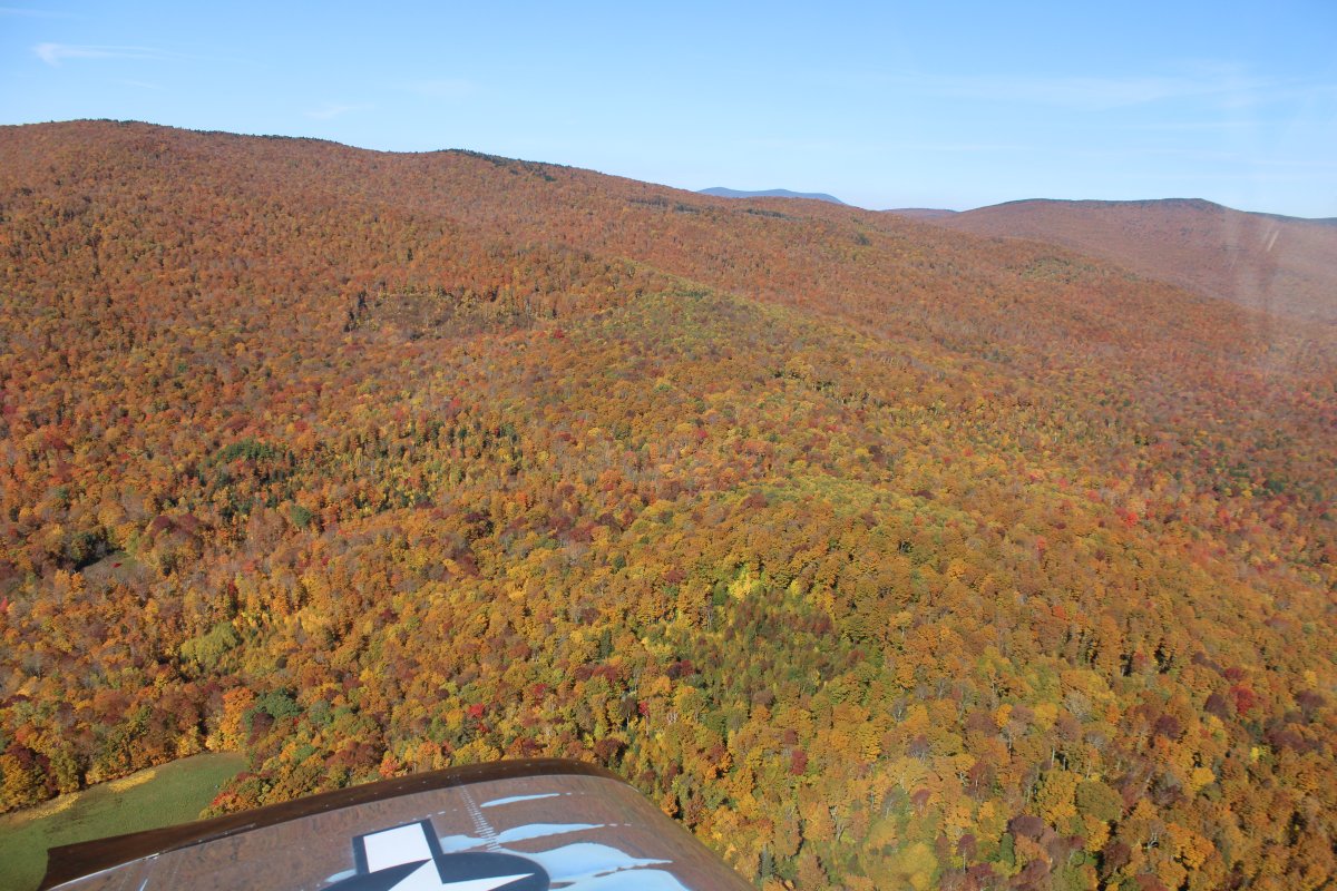
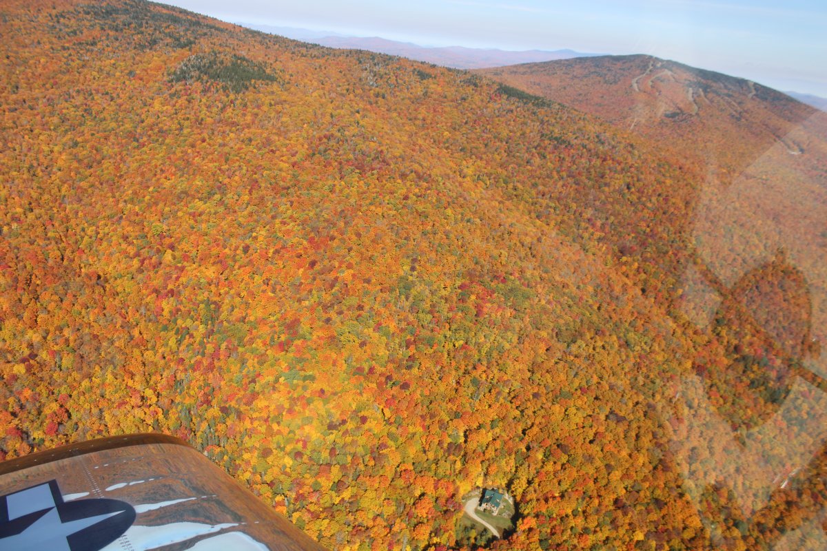
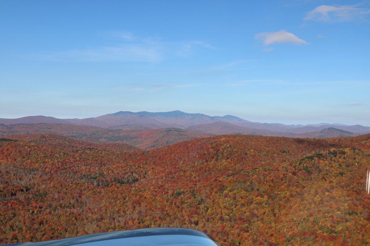
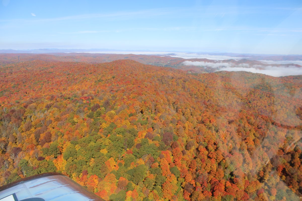
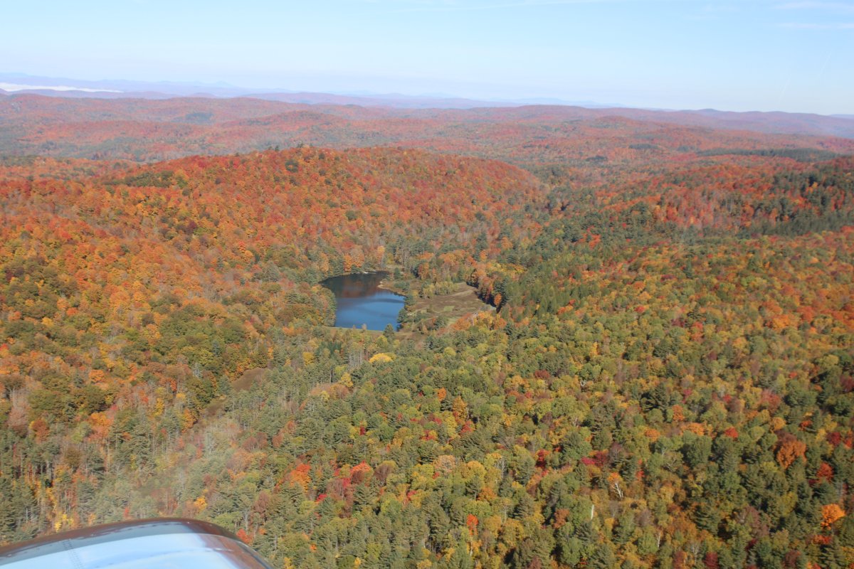
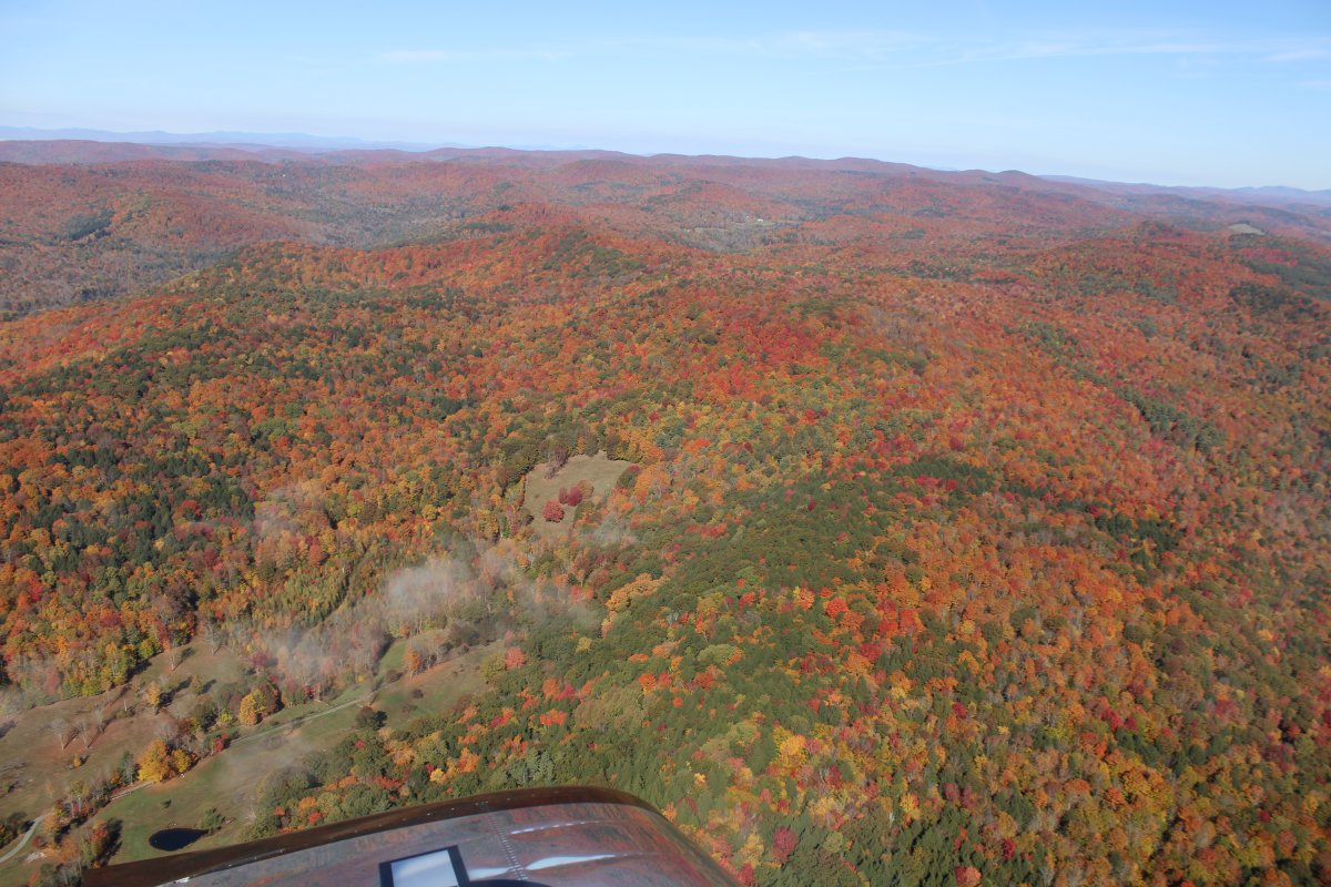
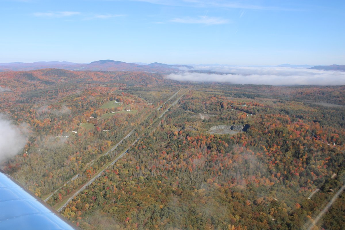
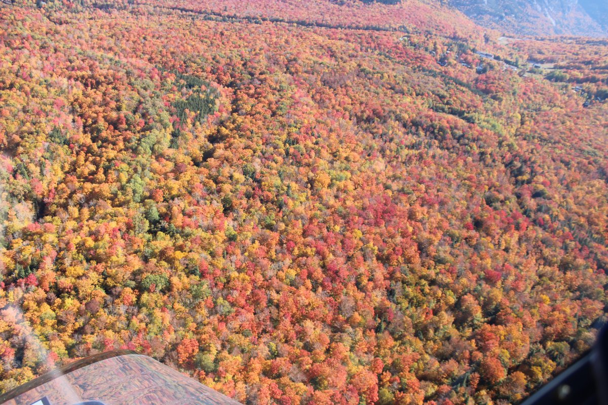
I had chosen wisely in flying over the mountainous areas because the color was best in the higher elevations.
   
Nice!
   
Cruising through the mountains.


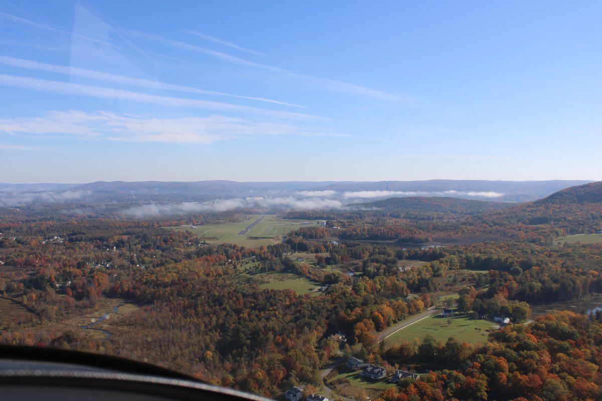
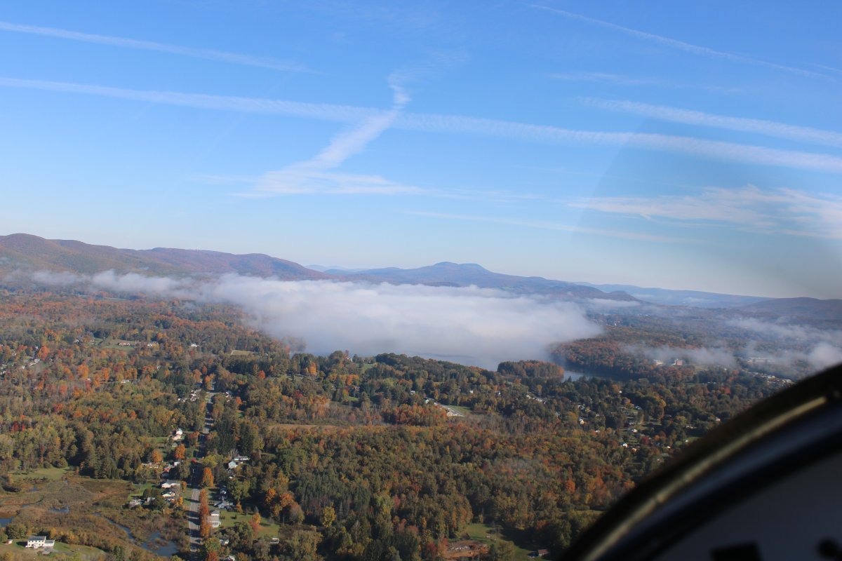
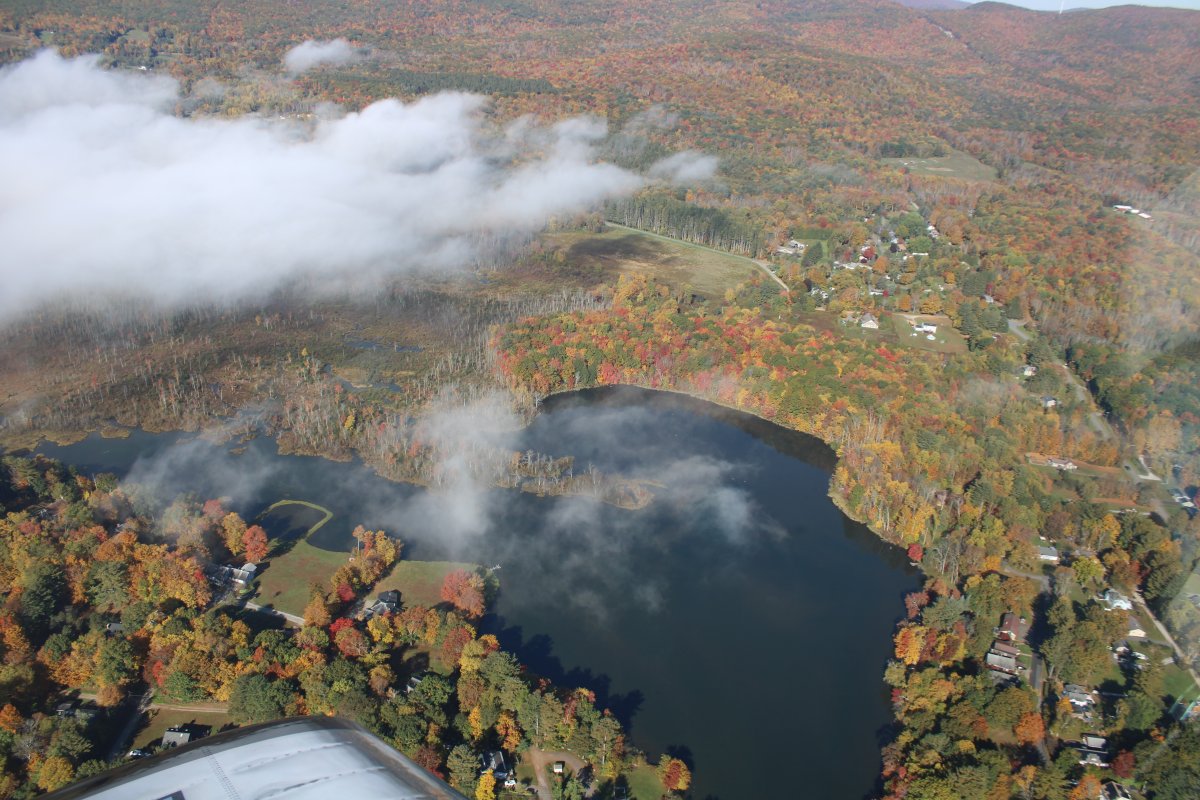
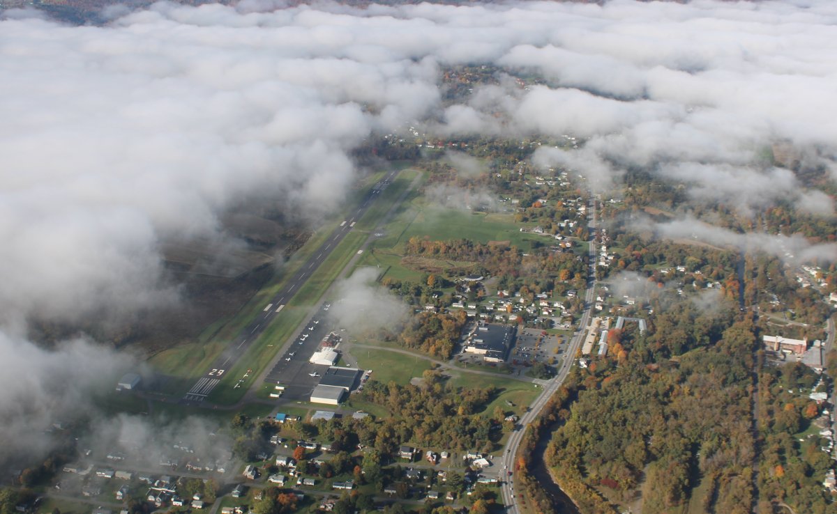
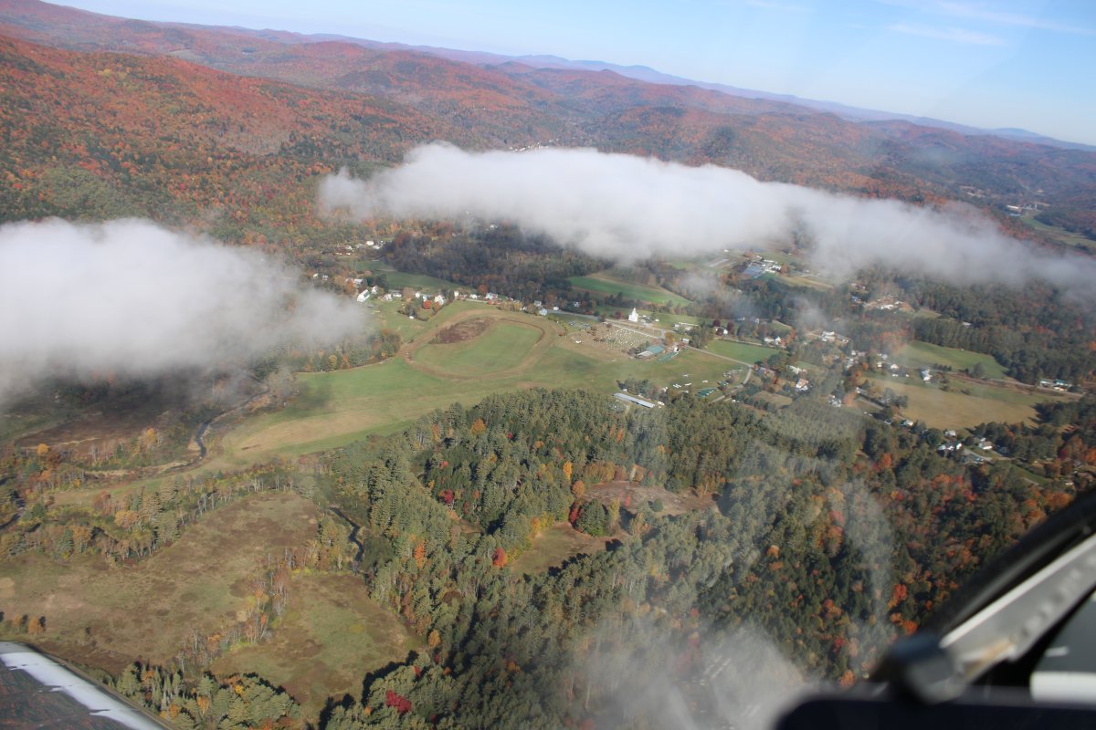
Looking at Harriman-and-West Airport (KAQW), Massachusetts, through a low scattered layer.   Soon after I crossed into Vermont.
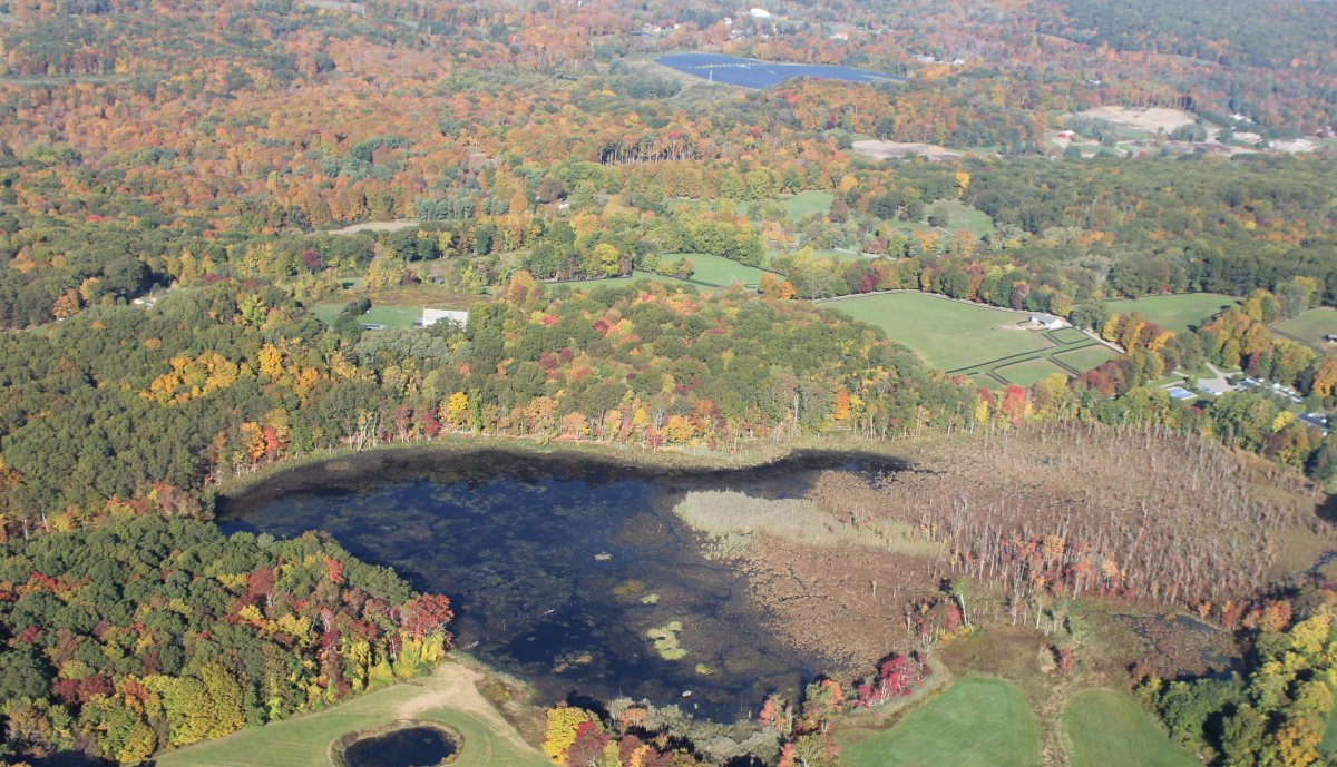
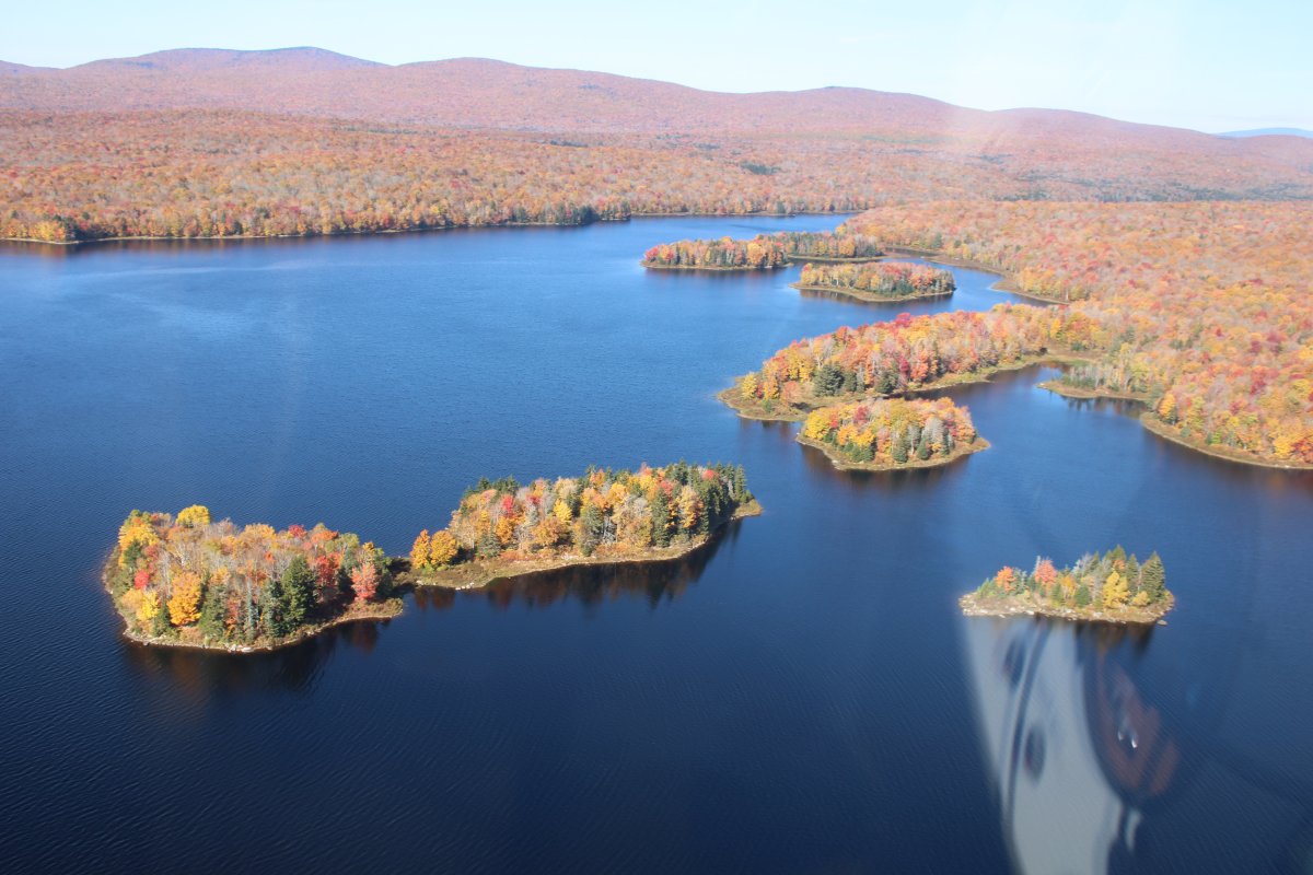
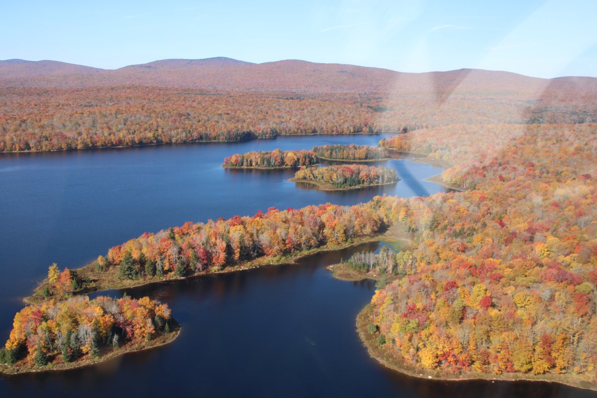
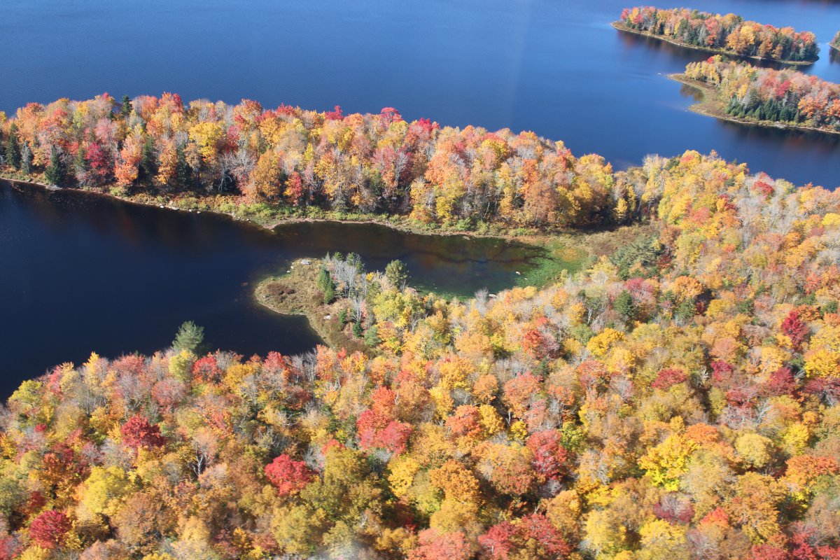
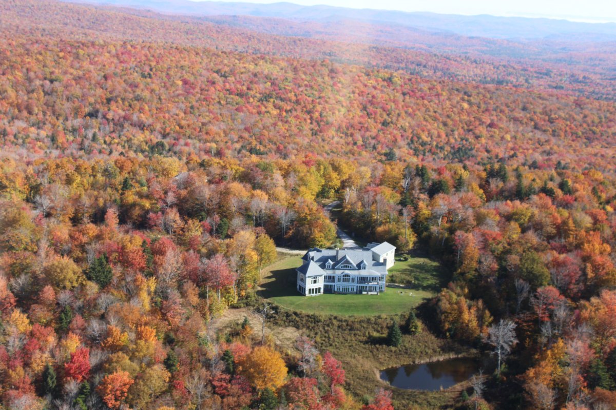
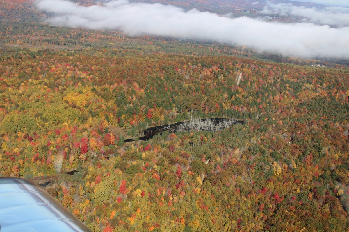
   
Now in Vermont.
   
Autumn splendor.
   
Looking up at some windmills.


I was looking down at this small strip in Vermont when I realized I had been here before.  This is Deerfield Valley Regional Airport (4V8).  Lynnette and I flew up here for a weekend back in October 2015.  We caught it at peak foliage back then.
   
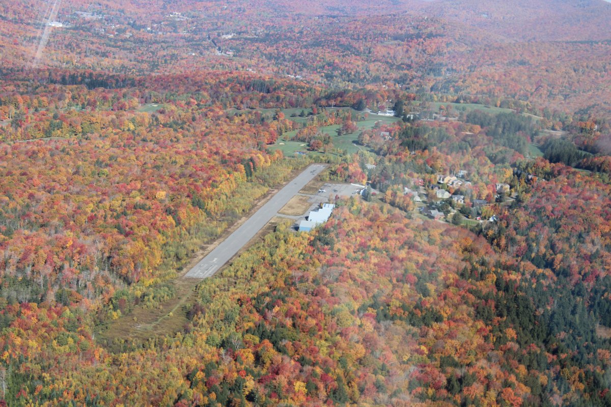
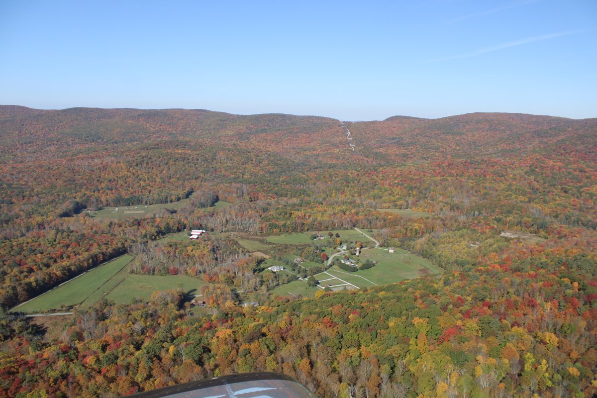
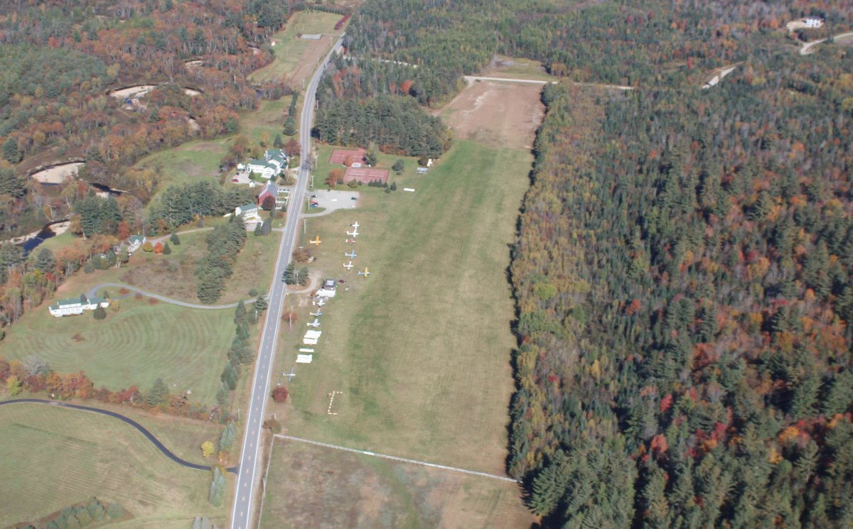
Another look at the airstrip.  Looks very close to peak this time also.
   
Further up the valley was Mt. Snow ski resort.
   
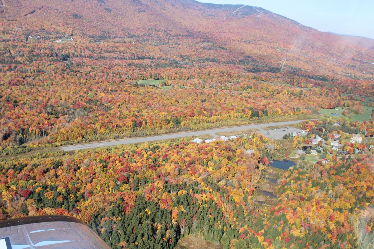
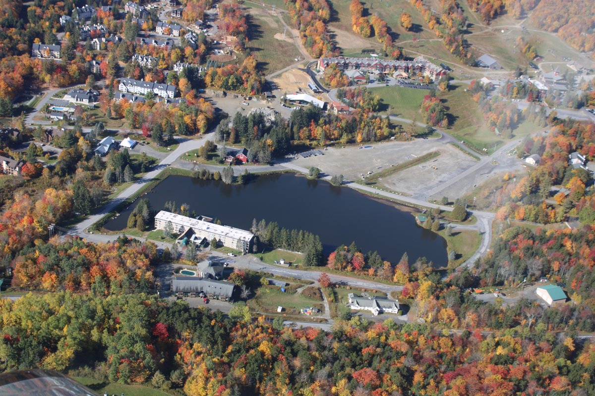
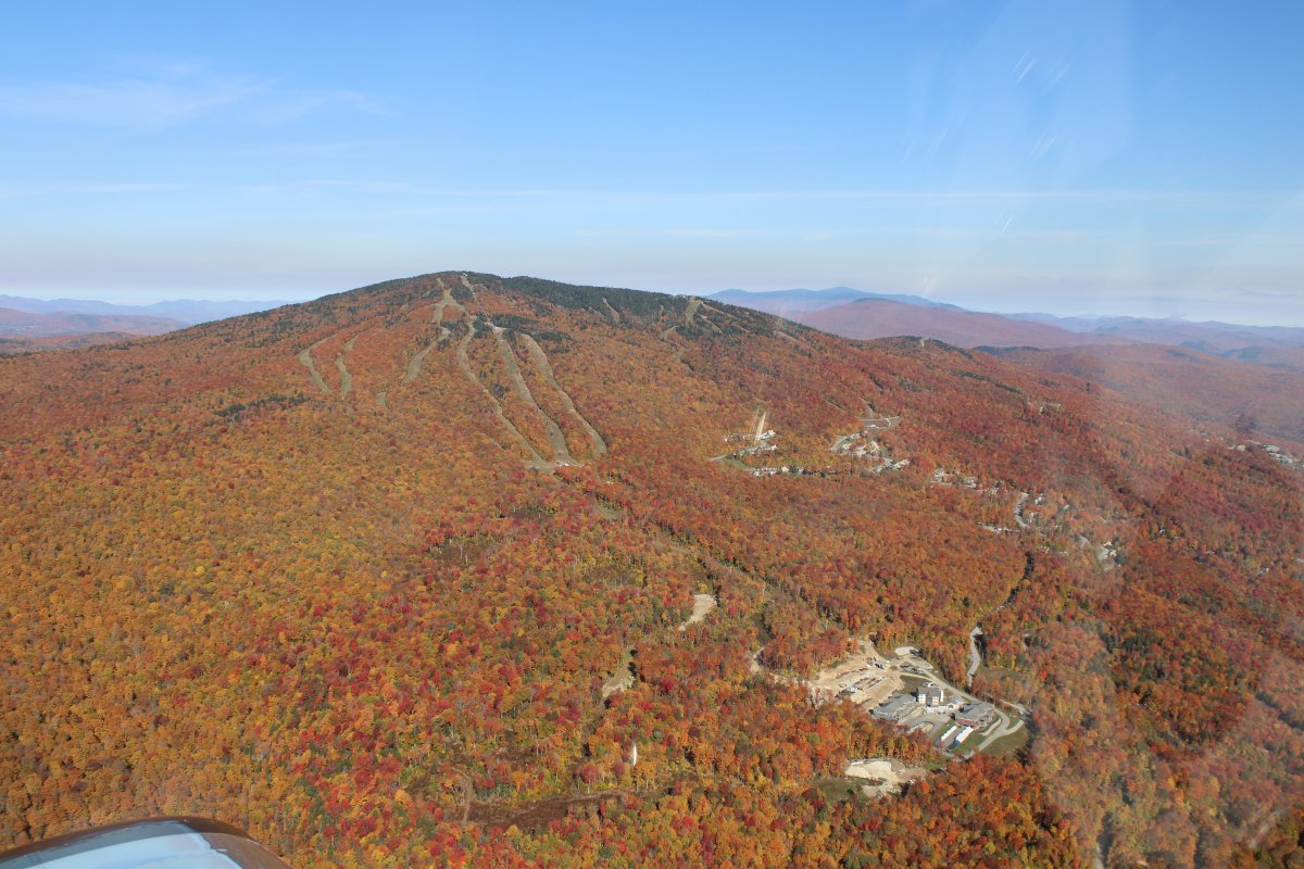
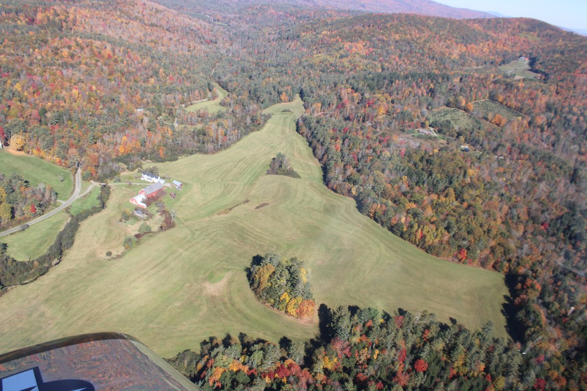
Ski resort area at the base of the mountain.
   
The area on the north side of Mt. Show, also including Somerset Reservoir.
   
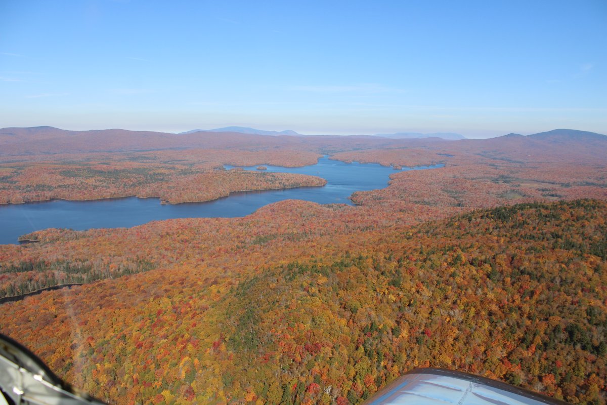
Cruising up Somerset Reservoir.
   
Awesome.
   
This entire area is the east side of the Green Mountain National Forest.   They ought to call it Orange Mountain!


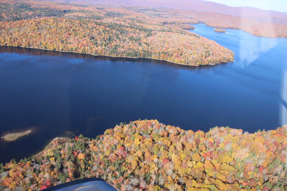
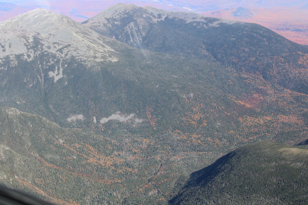
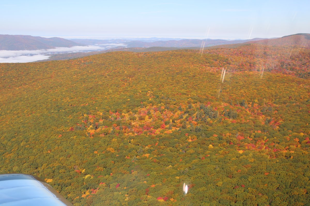
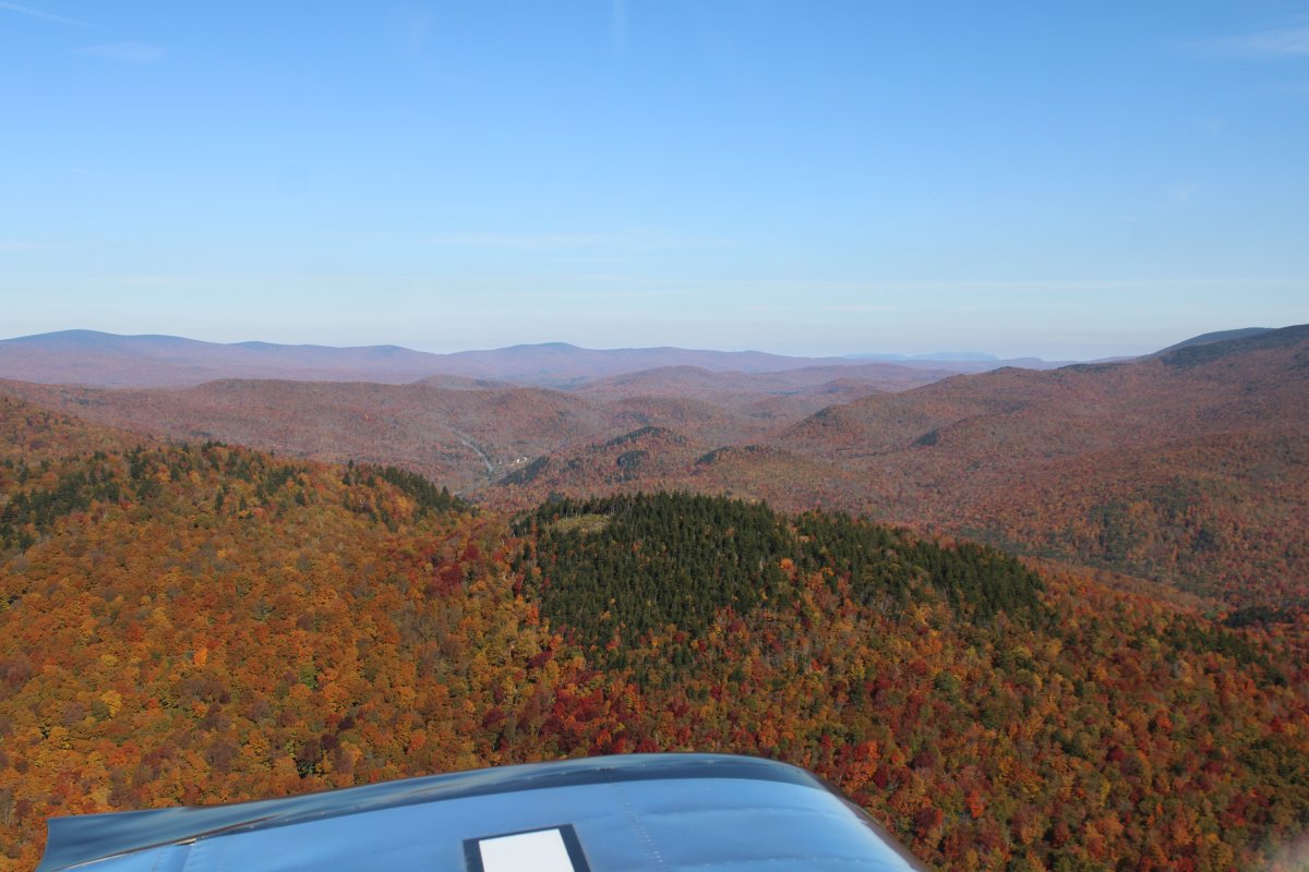
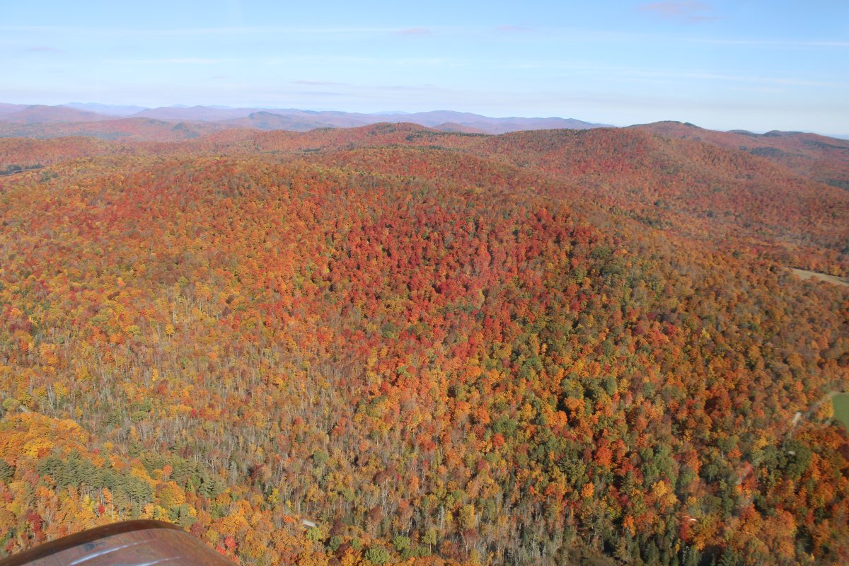
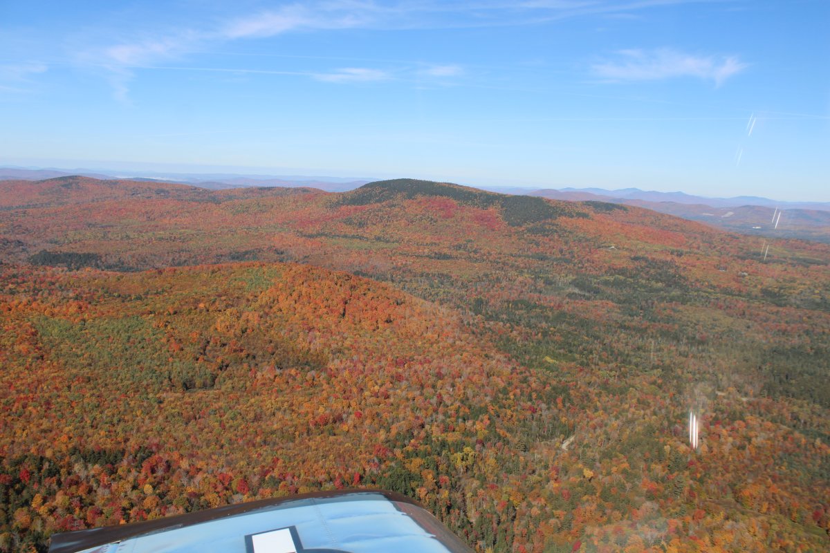
Continuing on into the unknown.
   
A mansion surrounded the forest.
   

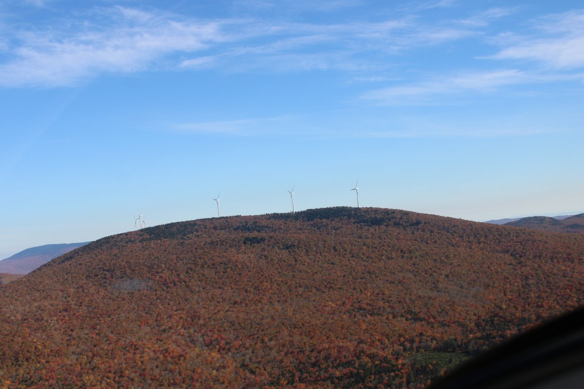
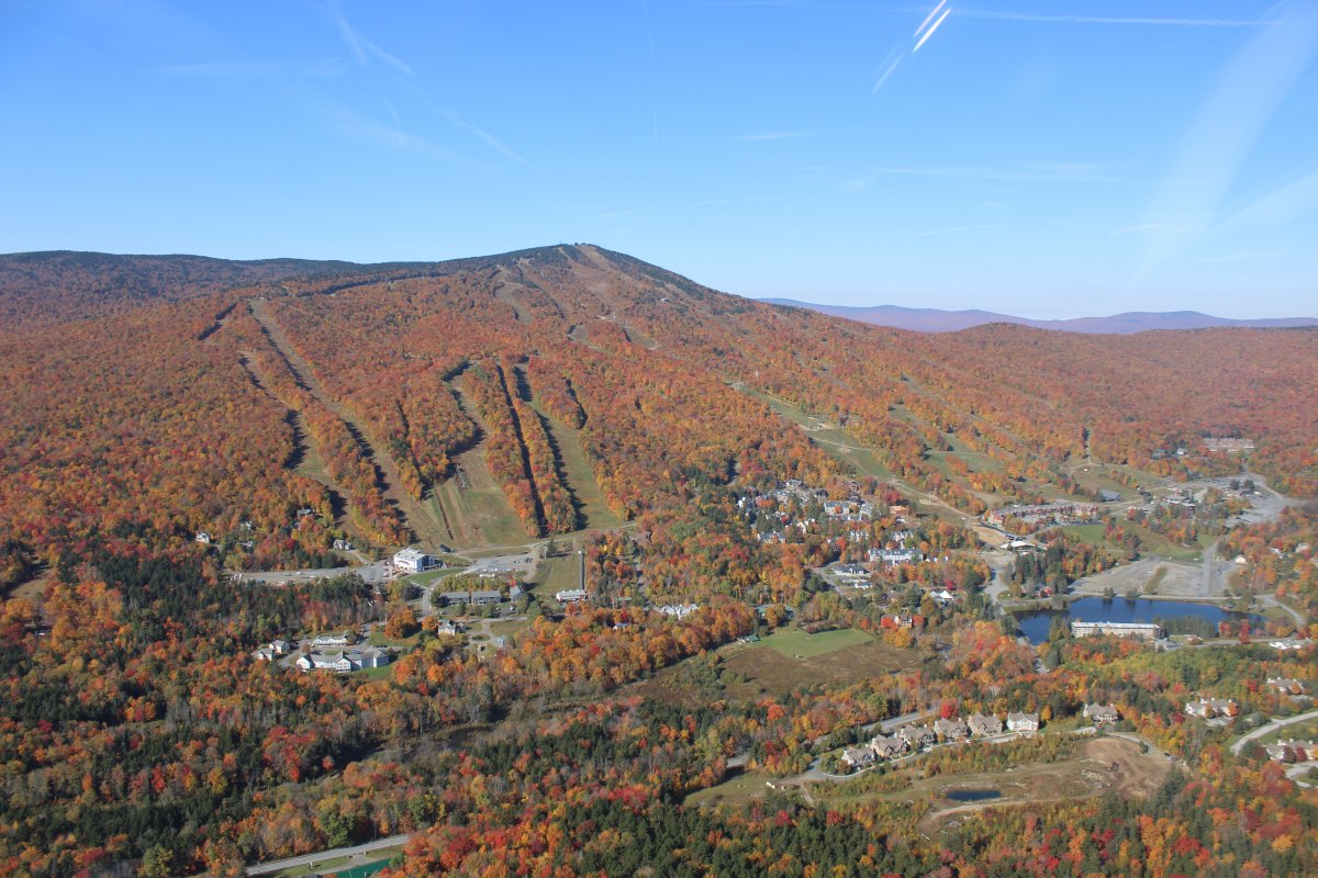
Passing another ski area on Stratton Mountain. 
 
   
P41
   

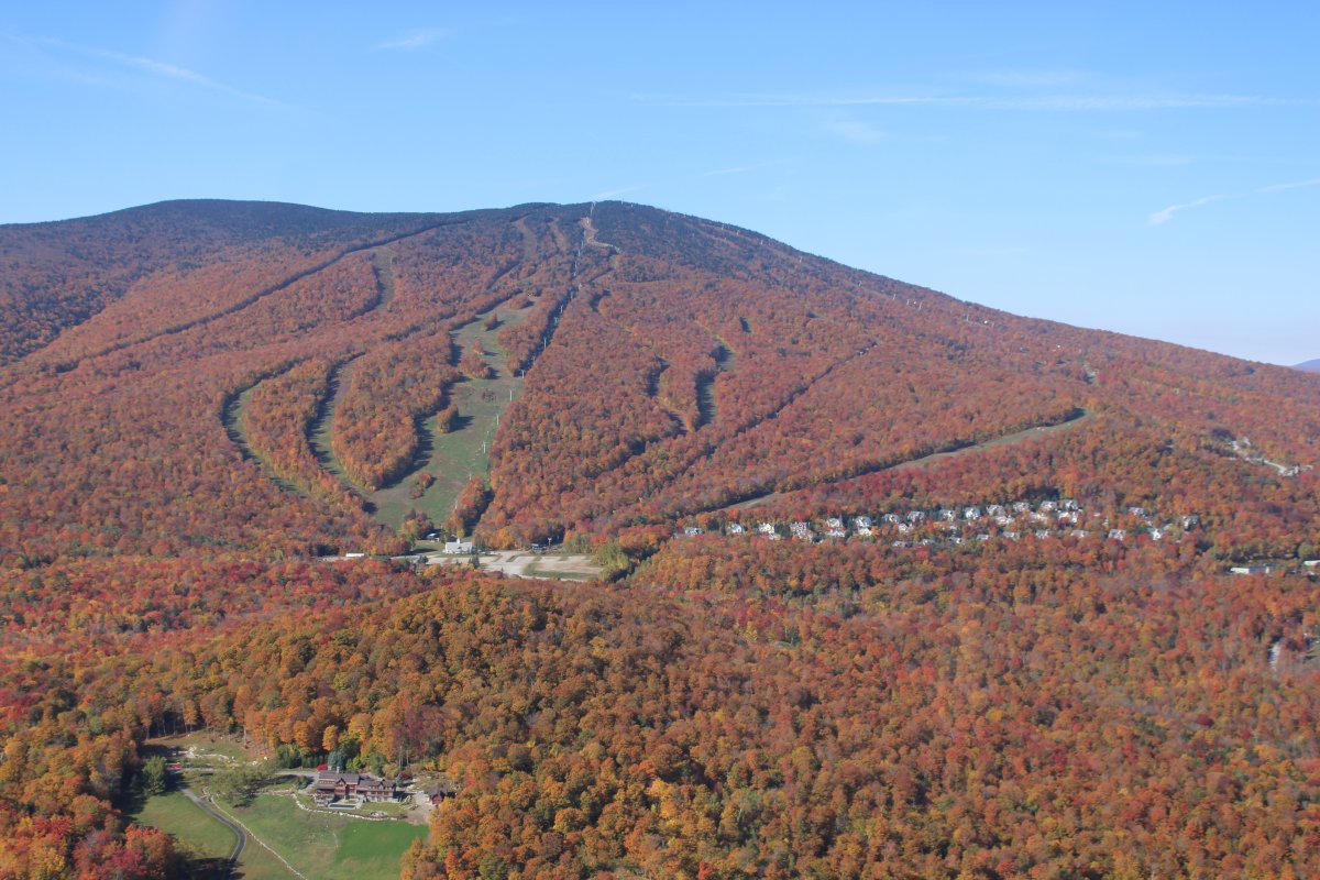
Soon I came to yet another ski resort:  Bromley Mountain.

In the early 70's, when I was a frosh at Fort Hunt High School in northern Virginia, I was in the ski club and we went on a week-long ski trip to Vermont.  This ski resort looks familiar; I'm thinking this is the one I went to.  The skiing wasn't that great -- mostly ice -- but it was still a fun trip.  Had my first beer on it, I remember that.


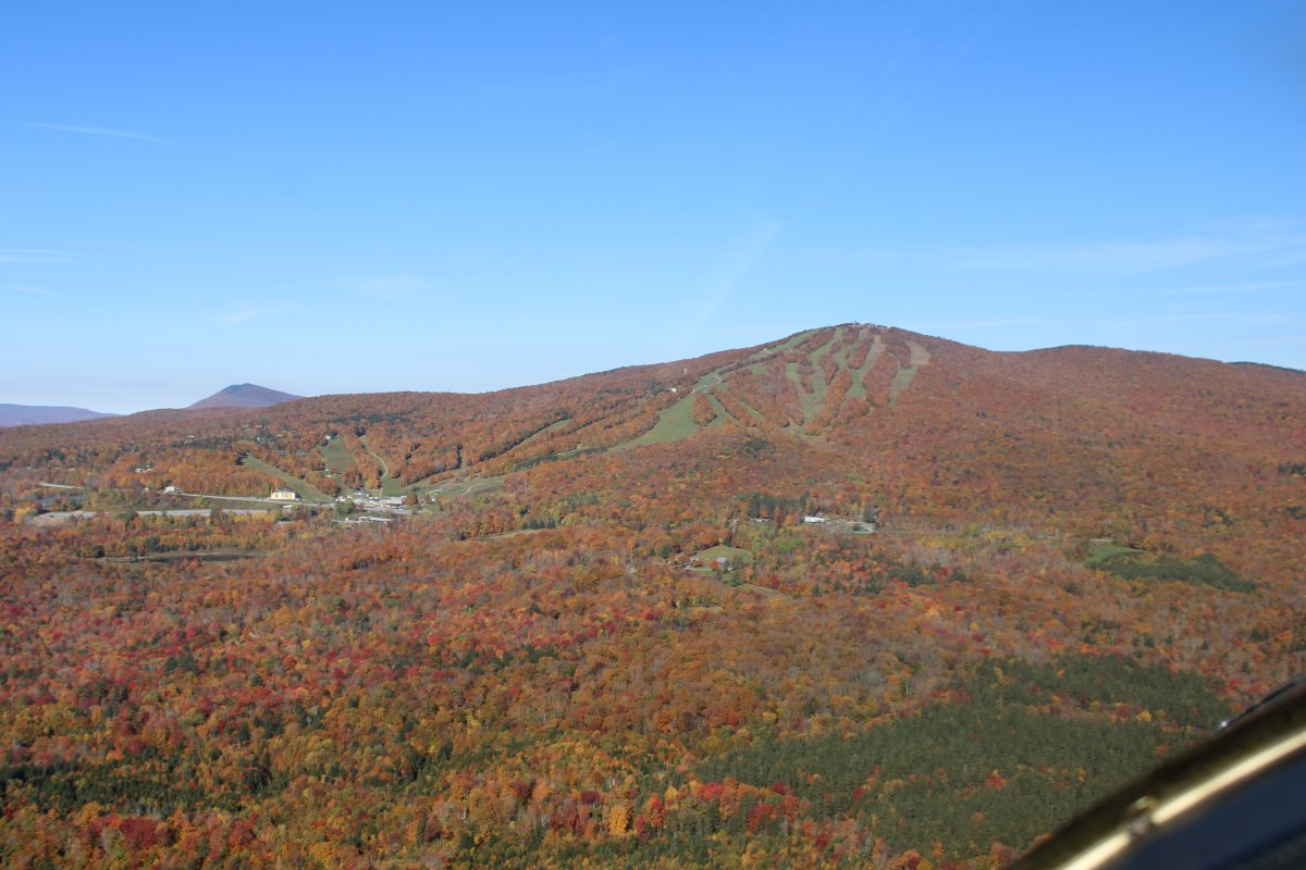
Approaching Okemo Mountain Resort and Ludlow, Vermont.
   
The color on the east side of the Green Mountains is just ridiculous.
   
Looking west across the Green Mountains in Vermont.
   
To the east is a large, fog-shrouded valley.
   
Now looking north.


That's a public grass strip down there -- Post Mills Airport (2B9).
   
Interstate 91 heads north, just west and parallel to the Vermont-New Hampshire border.


Getting a glimpse of the Conneticut River which marks the Vermont - New Hampshire border.  Looks like this river might be a good one to fly someday.
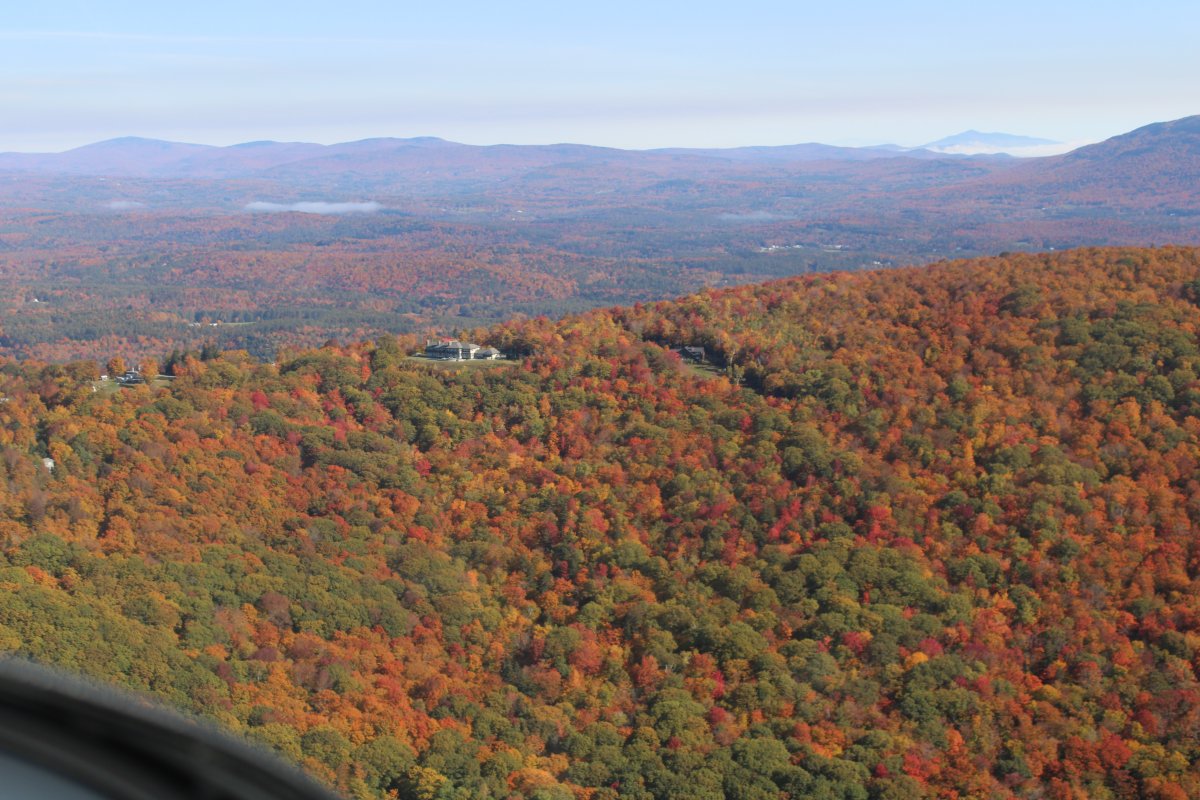
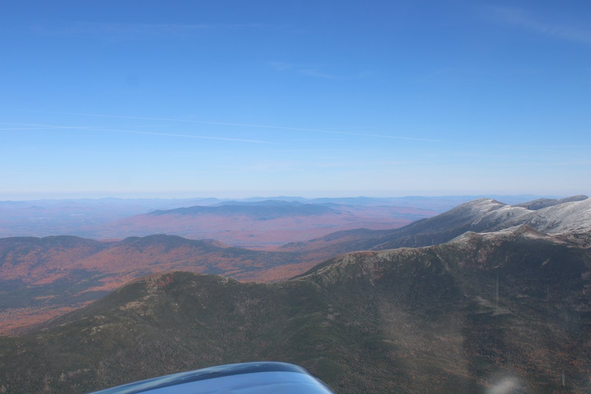


Overhead Franconia Airport, New Hampshire.  It's another public grass field airport featuring glider operations.
   
More peak foliage.
   
Looking west.
   
Looking northeast.  But what's this?  In the distance ahead I see snow covered mountains!  They are the White Mountains.
   
I turn east and climb to get my first ever look at the famous Mount Washington.
   

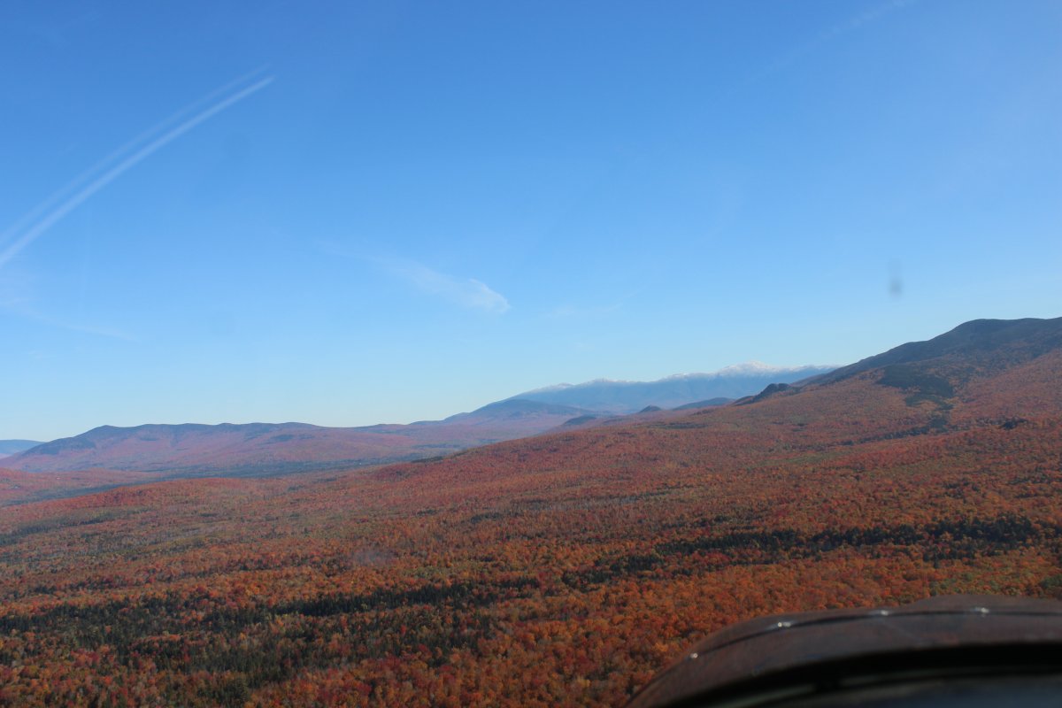
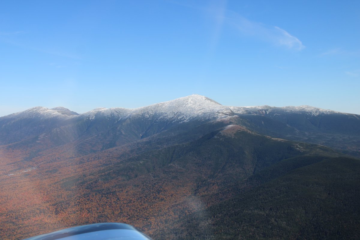
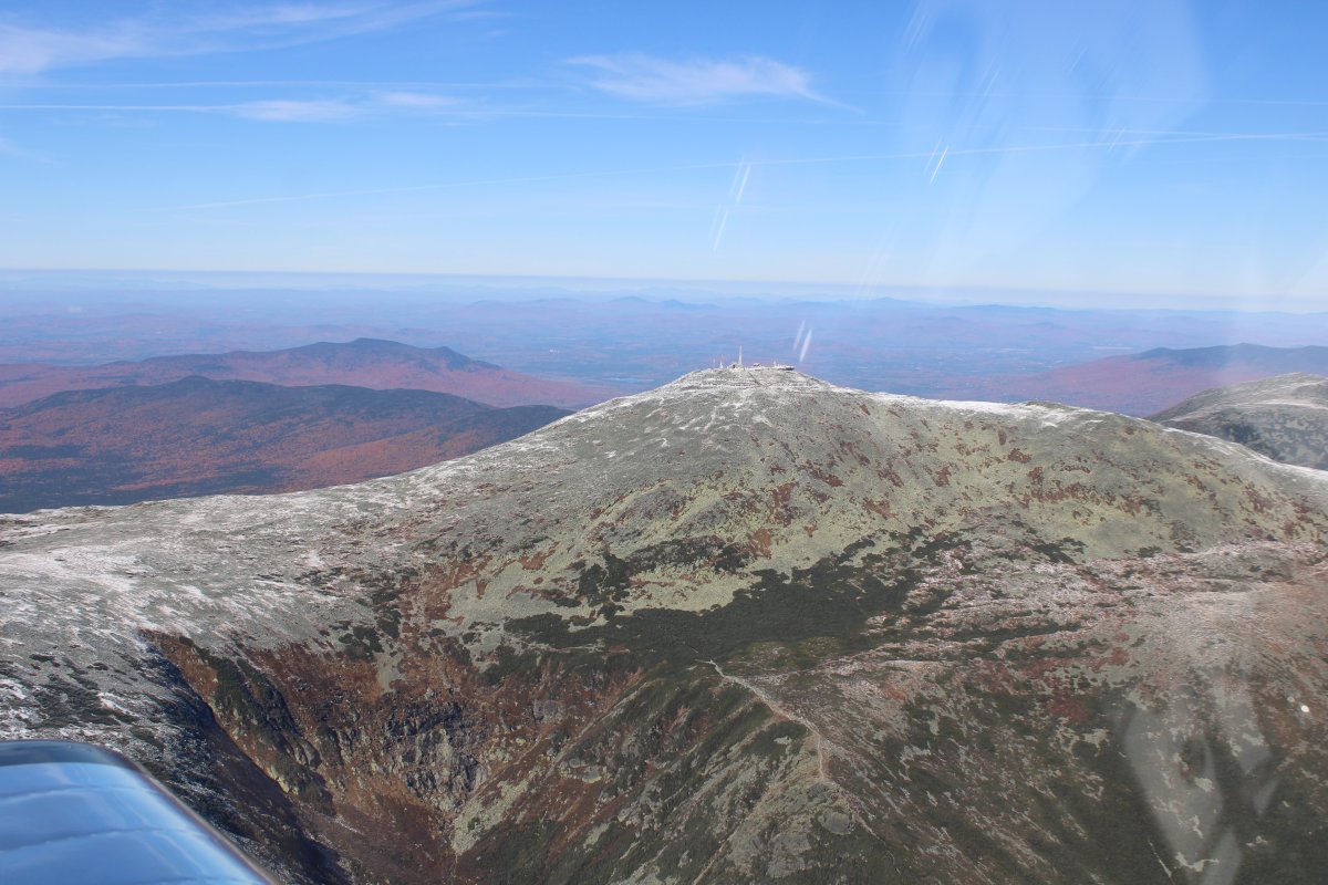
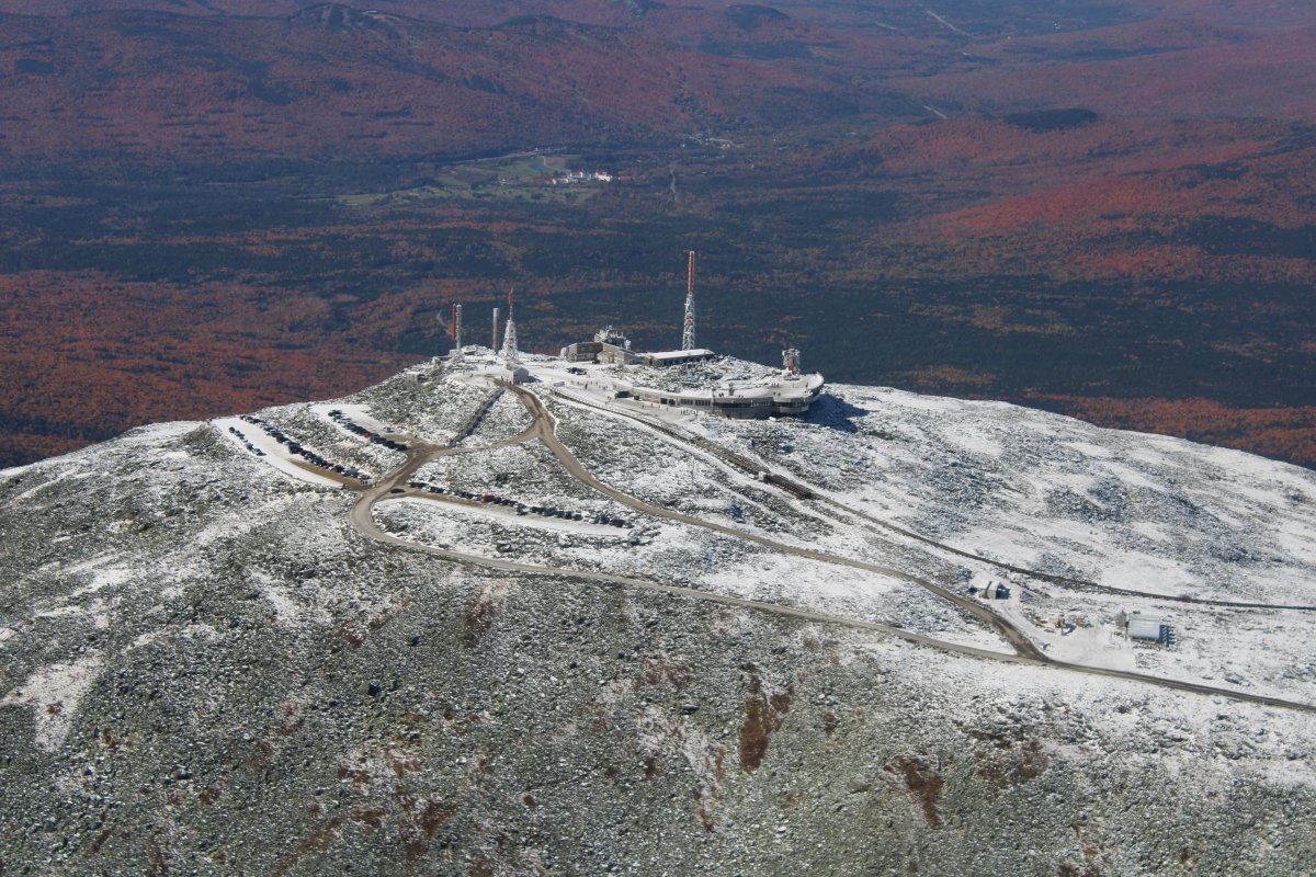
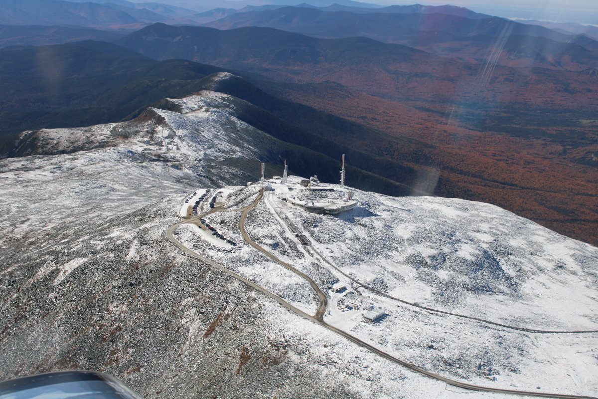
Mount Washington is the highest peak in the Northeastern United States at 6,288.2 ft and the most topographically prominent mountain east of the Mississippi River.


Looking west again.  The foliage looks a lot different from 6,000 feet.
   
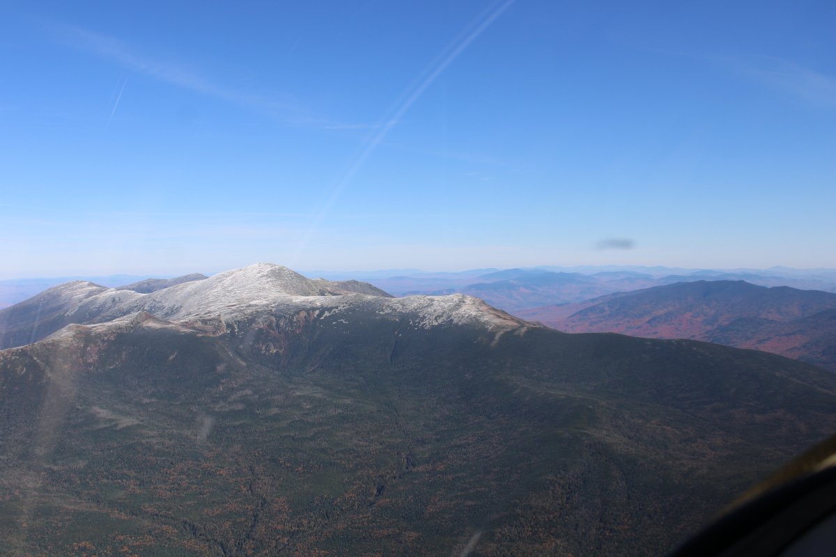
Mount Washington is notorious for its erratic weather. On the afternoon of April 12, 1934, the Mount Washington Observatory recorded a windspeed of 231 miles per hour at the summit, the world record from 1934 until 1996. Mount Washington still holds the record for highest measured wind speed not associated with a tornado or tropical cyclone.
   
It's a nice day today on the mountain.  A lot of people have driven up to check out the view.  There is also a cog railway you can take up.  There are a number of buildings at the summit; some literally chained down to the mountain so they don't blow awya.


At the center of the picture, a glider soars over the valley north of Mount Washington.  There are three airports surrounding the base of Mount Washington:  Gorham (a grass strip), Mt. Washington Regional, and Twin Mountain.


Previous
Home
Next